

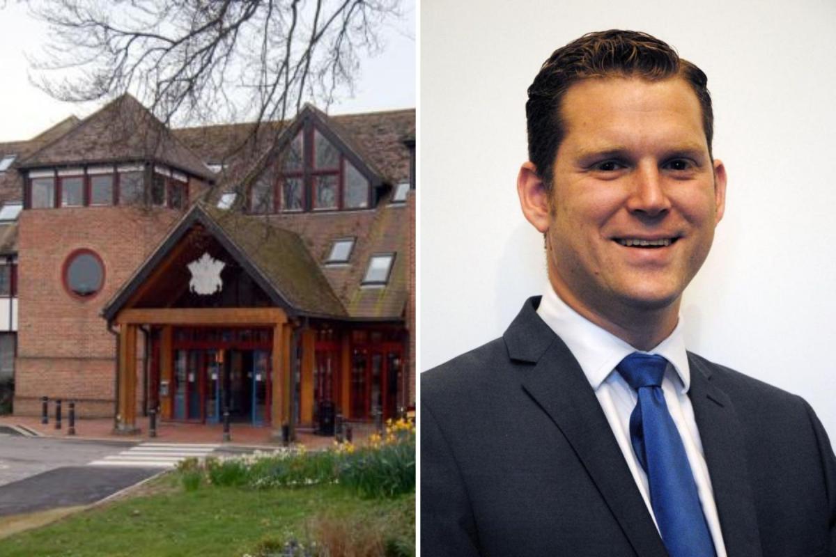
The first full draft of the Test Valley's local plan, to 2040, will be discussed at the full council meeting next week.
The local plan sets out the polices and principles by which planning decisions will be made across the borough.
It is produced by Test Valley Borough Council in its role as the local planning authority.
If approved on Wednesday, January 17, it will go to public consultation.
The plan balances the requirements of development that will provide jobs and affordable, sustainable housing for residents, with the need to provide necessary supporting infrastructure, whilst taking care to protect the countryside, open spaces and ecology. It preserves local gaps between settlements where possible and brings forward new energy efficiency measures.
National government has stated that 11,000 homes in total be created between 2020-2040, in line with the latest household projections and affordability measures. This is the minimum required and the plan seeks to provide resilience in terms of future supply.
READ MORE: Councils respond as Marlborough Street still closed seven months after fire
In the north of Test Valley 6,270 homes are required. An existing housing supply of 3,098 homes, with 40 homes required through neighbourhood plans, leaves 3,132 homes to be developed.
The local plan is allocating sites at: south of London Road, east Andover (90 homes); Manor Farm, north of Saxon Way, north Andover (800 homes); Bere Hill, south east of Andover (1,400 homes); east of Ludgershall (350 homes) and south east of Ludgershall (1,150 homes).
In the south 4,730 homes are required. An existing housing supply of 3,773 homes, with 70 homes required through neighbourhood plans, leaves 887 homes to be developed.

The local plan is allocating sites at: south of Ganger farm, east Romsey (340 homes); south of bypass, south Romsey (110 homes); Velmore Farm, Valley Park (1,070 homes); land at King Edwards Park, Chandler's Ford (44 extra care units); and land at Upton Lane, Nursling (80 homes).
The local plan also identifies the amount of land required for employment uses. This has been identified as 71.7 hectares overall.
In the north, these needs are currently met by 31.3 hectares allocated. An additional opportunity to deliver high quality employment land for uses associated with the Aerodrome site assessment has been identified at the site south of Thruxton Aerodrome.
SEE ALSO: Thornden School in Chandler's Ford appoints new headteacher
In the south, 40.4 hectares are required, some of which is met by existing supply. The plan proposes additional sites at Abbey Park (5.9 ha); south of Botley Road, Romsey (1.2 ha); Test Valley Business Park (2.2 ha); Kennels Farm, North Baddesley (3.9 ha); by providing an extension to University of Southampton Science Park; and at Upton Lane, Nursling (8.5 ha).
Cllr Phil North, leader of the council, said: “Producing a new local plan always includes very difficult decisions, balancing the need for new homes, including affordable homes with the impact those decisions will have on existing residents’ lives.
“Ultimately, though we are required by central government to provide sites for 11,000 new dwellings across the borough by 2040. If we don’t, there is a huge risk of developers getting permission for speculative plans, which are unlikely to include the significant amount of new infrastructure we are demanding through the local plan process.
“If approved by full council next week, I would encourage residents to have their say in the forthcoming consultation.”


Comments: Our rules
We want our comments to be a lively and valuable part of our community - a place where readers can debate and engage with the most important local issues. The ability to comment on our stories is a privilege, not a right, however, and that privilege may be withdrawn if it is abused or misused.
Please report any comments that break our rules.
Read the rules here